Marmarole Gallery
A wide and wild Mountain range

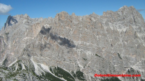
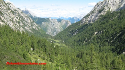
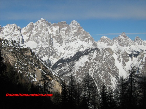
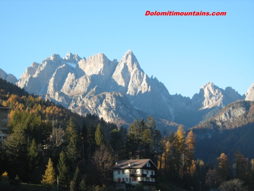
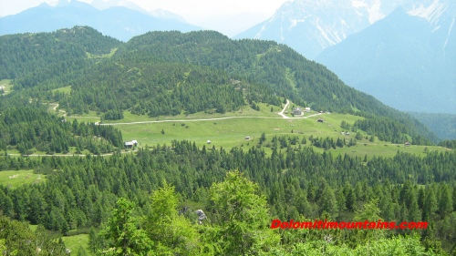
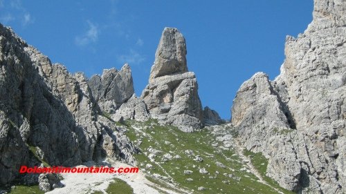
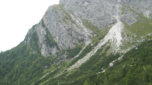
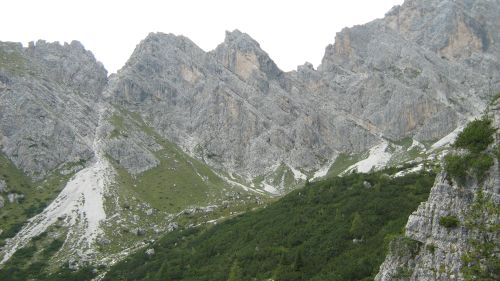
Marmarole Gallery proposes some pictures of the group of Marmarole. The mountain range stretches for a length of about 13 kilometers and is bounded from the Sorapis, to the west, the mountain overlooking San Vito di Cadore, practically up to the village of Auronzo di Cadore, further east.
Just detached from Marmarole stands Mount Antelao. The group is so large and jagged peaks and gorges which is divided roughly into three zones. The area of Bel Prà: the westernmost stretching from Forcella Vanedel in Forcella Grande, then to San Vito. Here the highest relevance is precisely the Cima Bel Prà.
The area Marmarole Central: from Forcella Vanedel to Forcella Bajon. This area affects the area of the Centre Cadore with some well-known peaks like the Cima Vanedel and Cimon Froppa. The easternmost part of the chain instead is the area of Ciastelin: Towards Middle Cadore and Auronzo, from the area of Pian dei Buoi to Forcella Bajon.
As the highest are: Cima Bel Prà 2,917 meters, Cima Bastioni 2,925 meters Cima Vanedel with 2,797 meters above sea level. The eastern part however does not exceed 2,570 meters in height, but here no mountains has less charm.
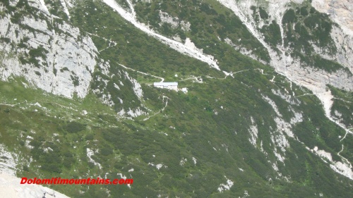
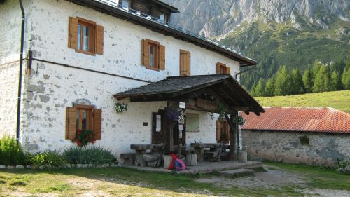
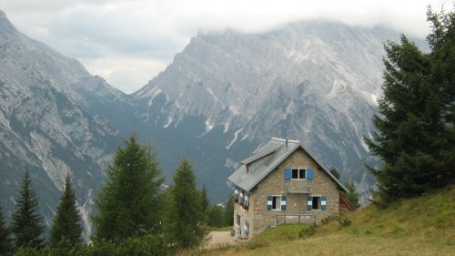
This chain does not offer many bivouacs or huts, however, covered the Alta Via nr. 5 called Titian, in honor of the great painter born in Pieve di Cadore. The route starts from the village of Sesto in the Puster Valley and arrives just in Pieve.
